We use cookies to make your experience better. To comply with the new e-Privacy directive, we need to ask for your consent to set the cookies. Learn more.
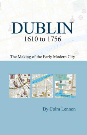
This is the second Dublin pocket map to be published in the Irish Historic Towns Atlas series. It follows on from ‘Dublin c. 840 to c. 1540: the medieval town in the modern city’ (2002) and maps a further 180 topographical features of the city for the period 1610 to 1756. The booklet contains a commentary on the urban development of Dublin and a chronological index to sites. The accompanying foldout map pinpoints features on a modern base. Colour-coded streets indicate the start of the Georgian expansion of the urban core from medieval to early modern Dublin.
This is an ancillary publication to Irish Historic Towns Atlas, no. 19, Dublin, part II, 1610 to 1756 by Colm Lennon.
| ISBN/EAN | 9781904890614 |
|---|---|
| Author | Colm Lennon |
| Publisher | Royal Irish Academy |
| Publication date | 8 Jan 2010 |
| Format | Paperback |
Write Your Own Review
Dublin 1610 to 1756: the making of the early modern city
Estimated delivery in 1-5 working days
Read more about our shipping and delivery