We use cookies to make your experience better. To comply with the new e-Privacy directive, we need to ask for your consent to set the cookies. Learn more.
Books
-
 History of Ireland in Maps€22.99
Explore Ireland's fascinating story with more than 100 maps. From the early history of the Emerald Isle to the modern day, Ireland has evolved rapidly, along with the ways in which it has been mapped. Cartography has not only kept pace with these changes, but often driven them.
-
 Dublin: Mapping the City (Hardback)€39.99
Together with maps that reveal much about the famous buildings, transport, health, trade, life and work of the city, this book is a fascinating portrait of Dublin through the ages which offers many new perspectives on one of Europe's great cities.
-
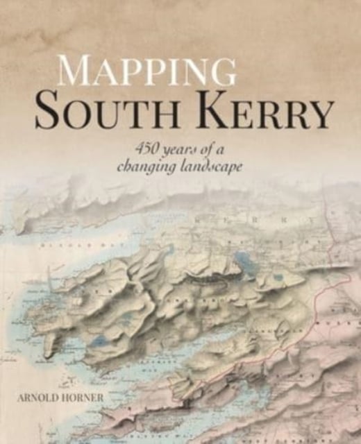 Mapping South Kerry : 450 Years of a Changing Landscape (Hardback)€55.00
South Kerry was always a place with its own distinctive personality, and once the heart of a great Irish lordship.
-
That Place We Call HomeSpecial Price €20.69 Regular Price €22.99
A journey through the place names of Ireland
-
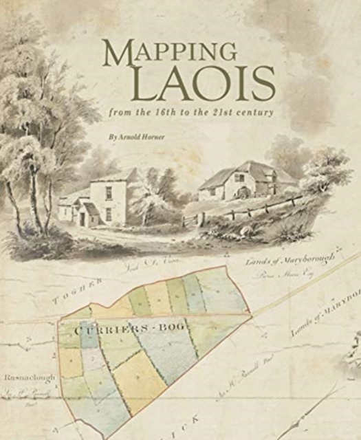 Mapping Laois from the 16th to the 21st century€35.00
The author reviews and contextualizes the extraordinarily rich diversity of manuscripts and printed maps that record the changing political, economic, and social circumstances of an Irish county over nearly five centuries.
-
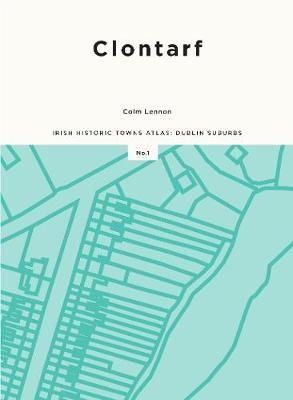 Clontarf Irish Historic Towns Atlas: Dublin Suburbs€35.00
The Irish Historic Towns Atlas (IHTA) is producing a Dublin suburbs series of atlases in collaboration with Dublin City Council. The first five suburbs to be completed in this scheme will be Clontarf by Colm Lennon, Rathmines by Seamus O Maitiu, Drumcondra by Ruth McManus, Inchicore/Kilmainham by Frank Cullen and Ringsend/Sandymount by Jacinta Prunty.
-
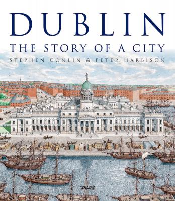 Dublin: The Story of a City€29.99An exquisitely detailed illustrations and engaging words, Stephen Conlin and Peter Harbison bring alive the story of Dublin – its architecture and streetscapes, its government and its people – from Viking times to the present day.
 -
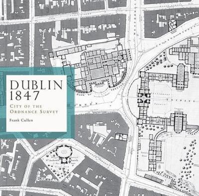 Dublin 1847: city of the Ordnance Survey€15.00
The Ordnance Survey's large-scale town plans for Dublin (1847) are the focus of this book. Forty-five extracts from these richly detailed maps depict the streets, lanes, buildings, gardens, yards and parks of the city with precision, to the extent that individual houses (with numbers), pumps, lamp posts and trees are shown.
-
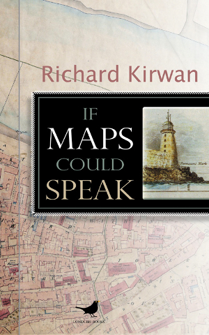 If Maps Could Speak€19.99
If Maps Could Speak is an engaging combination of memoir, history and stories about people and places.