We use cookies to make your experience better. To comply with the new e-Privacy directive, we need to ask for your consent to set the cookies. Learn more.
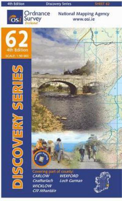
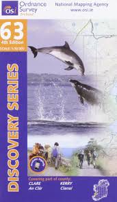
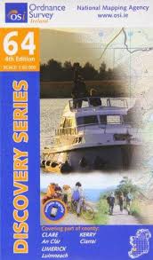
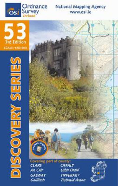
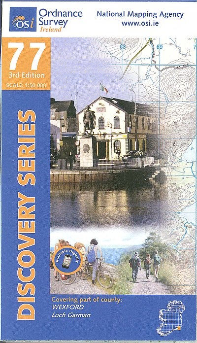
The Discovery Series are designed for tourist and leisure activities. Each one covers an area of 40km x 30km at the scale of 1:50,000. There are 93 sheets in the series. 75 are produced by Ordnance Survey Ireland and 18 by Ordnance Survey Northern Ireland.
The maps produced by Ordnance Survey Northern Ireland are called the Discovery. Map covering part of county Wexford
| ISBN/EAN | 9781907122972 |
|---|---|
| Author | Ordnance Survey |
| Publisher | Ordnance Survey Of Ireland |
| Publication date | 17 Dec 2012 |
| Format | Fold-out Map |
Write Your Own Review
Wexford (Discovery Series 69 4TH Edition)
The Discovery Series are designed for tourist and leisure activities.
Estimated delivery in 1-5 working days
Read more about our shipping and delivery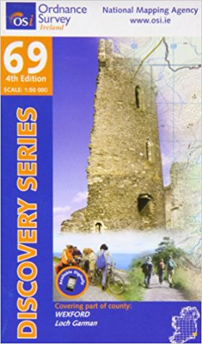
OTHER PRODUCTS YOU MIGHT LIKE!
-
 My Wexford€16.99
 -
Waterford, Limerick and Western RailwaySpecial Price €19.99 Regular Price €24.99
-
 The Carlow War Dead€24.99
 -
Clare, Galway (Discovery Series 52)Special Price €8.00 Regular Price €9.40
-
 Book Of Irish Limericks€4.99
 -
Laois, Offlay, Tipperary (Discovery Series 54)Special Price €8.00 Regular Price €9.40
-
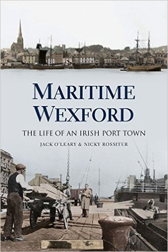 Maritime Wexford€24.99
 -
Clare, Limerick, Tipperary (Irish Discovery Series 58)Special Price €8.00 Regular Price €9.40
-
 Clare and the Great War€21.50
 -
The Wexford Book : Who's What and Where's Where (Hardback)Special Price €19.99 Regular Price €29.99
-
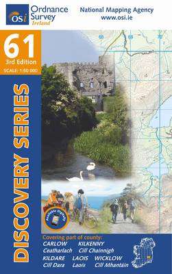
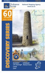 Kilkenny, Laois, Tipperary (Irish Discovery Series 60)Special Price €8.00 Regular Price €9.40
 -
River Road : The Archaeology of the Limerick Southern Ring Road (NRA Scheme Monographs)Special Price €17.99 Regular Price €29.99
-
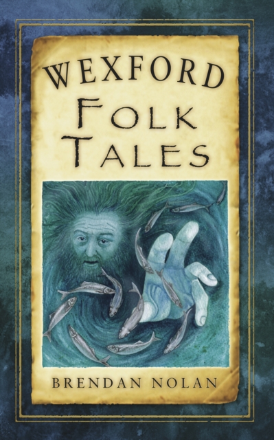 Wexford Folk Tales€12.99
 -
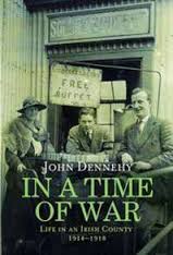
In a Time of War: Tipperary 1914-1918Special Price €12.99 Regular Price €19.99
-
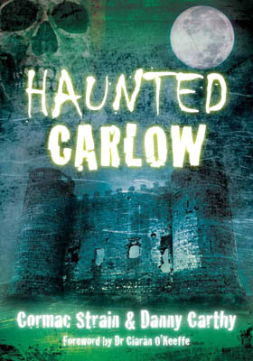 Haunted Carlow€14.99
 -
Carlow, Kilkenny, Waterford, Wexford (Irish Discovery Series) 76Special Price €6.99 Regular Price €10.90
-
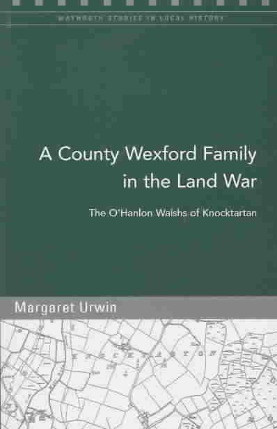
A County Wexford Family in the Land War: By the O'Hanlon Walshs of Knocktartan (Maynooth Studies in Local History)Special Price €6.99 Regular Price €9.99
-
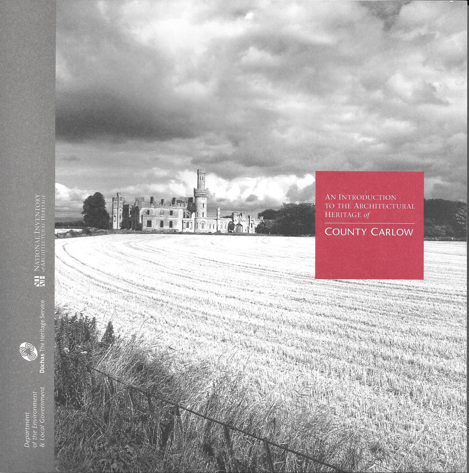
Survey of the Architectural Heritage of County CarlowSpecial Price €19.99 Regular Price €24.99
-
Clare, Galway, Offaly, Tipperary (Discovery Series 53)Special Price €8.00 Regular Price €9.40
-
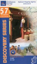 Clare (Irish Discovery Series 57)Special Price €8.00 Regular Price €9.40
 -
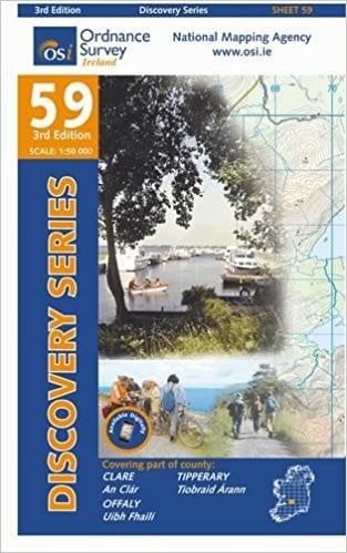 Clare, Offaly, Tipperary (Irish Discovery Series 59)Special Price €8.00 Regular Price €9.40
 -
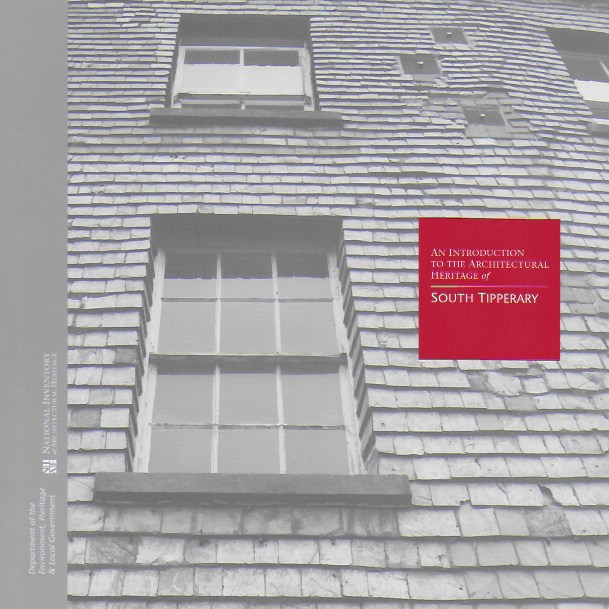
An Introduction To The Architectural Heritage Of South TipperarySpecial Price €13.99 Regular Price €19.99
-
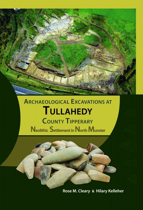
Archaeological Excavations at Tullahedy, County TipperarySpecial Price €34.99 Regular Price €49.99
-
 Limerick Street Map 6ed€8.10
 -
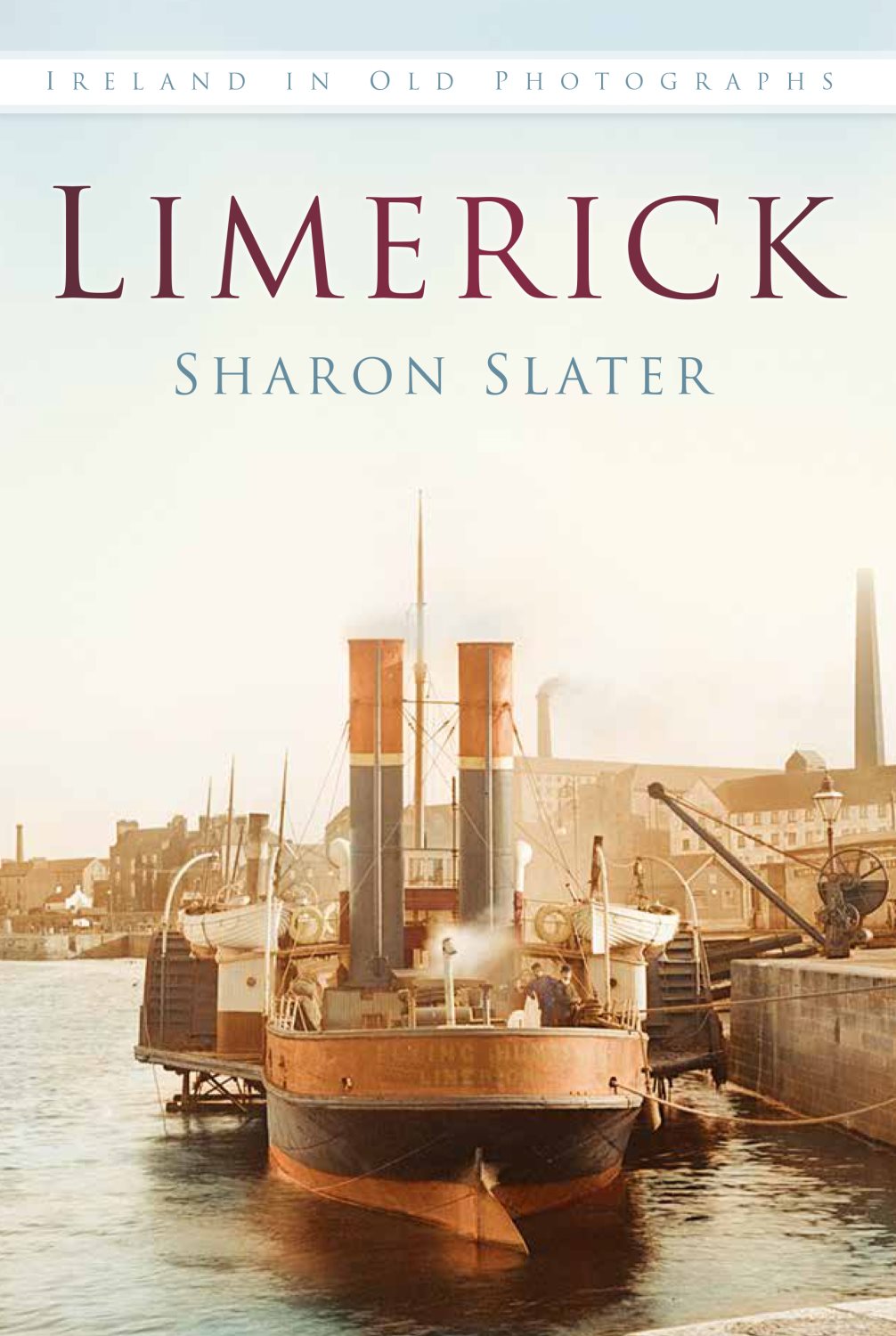 Limerick In Old Photographs€16.99
 -
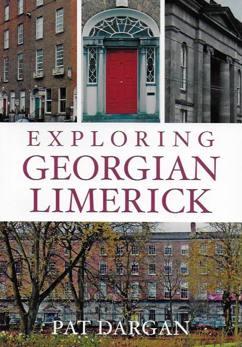 Exploring Georgian Limerick€17.99
 -
Wexford (Irish Discovery Series) 77Special Price €6.99 Regular Price €10.90