We use cookies to make your experience better. To comply with the new e-Privacy directive, we need to ask for your consent to set the cookies. Learn more.
Highlights include:
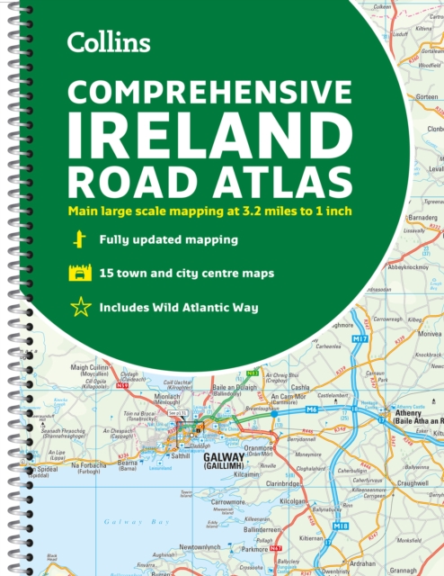
- Clear mapping at a scale of 3.2 miles to 1 inch, which is useful for navigation
- An additional 9 miles to 1 inch route planning map
- Places of interest section with information and photographs
- A range of fully indexed town and city centre maps, including: Bangor, Belfast, Cork, Dublin, Limerick, Lisburn, Londonderry (Derry) and Newtownabbey This updated edition boasts road mapping packed with detail.
There is a colour classified road network that also shows toll roads. Blue Flag and Green Coast beaches are shown along with tourist information centres and a wide range of tourist attractions. There is also comprehensive information for visitors to Belfast, Cork, Dublin and Limerick.
The perfect companion for anyone visiting Ireland.
| ISBN/EAN | 9780008412814 |
|---|---|
| Author | Collins Maps |
| Publisher | HarperCollins |
| Imprint | Collins |
| Publication date | 2 Mar 2023 |
| Format | Spiral bound Paperback |
Write Your Own Review
Comprehensive Road Atlas Ireland (Spiral Bound)
This comprehensive, general purpose road atlas of the whole of Ireland is ideal for both business and pleasure use.
Estimated delivery in 1-5 working days
Read more about our shipping and delivery